The Encyclopedia of Arda - an interactive guide to the world of J.R.R. Tolkien
Dates
Númenor was founded in II 32, and destroyed in the Downfall II 3319
Location
The northern of the two eastern promontories of the island of Númenor
Race
Division
Culture
Other names

Indexes:

About this entry:

  • Updated 15 February 2024
  • This entry is complete

Eastlands of Númenor

The land known as the Orrostar

Map of the Eastlands of Númenor

Regions of Númenor

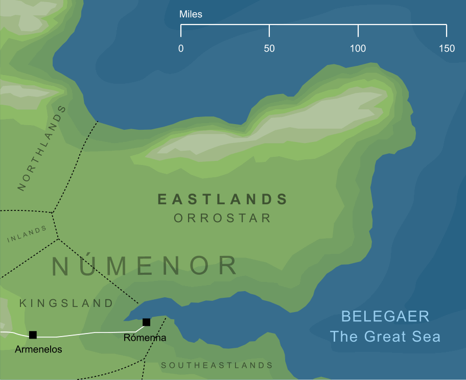
A translation of Orrostar, the Númenóreans' name for a broad eastern peninsula of their island home. The Eastlands formed a wide promontory extending out to the east of the Isle for some two hundred miles. To the north, south and east, it was surrounded by the waters of the Great Sea, but on its landward side to the west, its borders met those of the Forostar, Mittalmar and Arandor.

The Eastlands was not a heavily populated region, and contained no large cities. A range of hills along its northern coast protected it from the worst of the cold north winds, so that crops could be grown in its interior regions. It formed, therefore, an important part of the farmlands of Númenor, especially in its western and southern parts.


See also...

Southeastlands

Indexes:

About this entry:

  • Updated 15 February 2024
  • This entry is complete

For acknowledgements and references, see the Disclaimer & Bibliography page.

Original content © copyright Mark Fisher 2005, 2008, 2022, 2024. All rights reserved. For conditions of reuse, see the Site FAQ.

Website services kindly sponsored by Your Free Personality Test, the free personality test online
Are you ready for Your Free Personality Test? Take the ten-minute test online today and see your own eye-opening personality report.
The Encyclopedia of Arda
Menu
Homepage Search Latest Entries and Updates Random Entry