- Cities and buildings
- Fields, plains and deserts
- Forests
- Hills and mountains
- Islands and promontories
- Lands, realms and regions
- Rivers and lakes
- Seas and oceans


 |
||||||
|


Which personality type are you?
Take the Free mydiscprofile Personality Test to discover your core personality and your ideal job.   Which personality type are you? |
|
Dates
Location
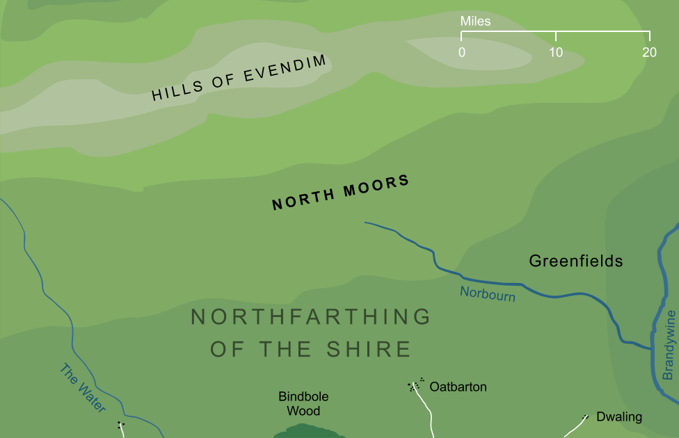
The northern parts of the Northfarthing, rising into the Hills of Evendim
Race
Culture
Family
The Boffins of Underhill were known to have hunted the Moors, and presumably other families did so as well
Sources
The Water appears to have risen in this region, and likely so did the little-known river Norbourn1
Indexes: About this entry:
|
North MoorsThe highlands of the Northfarthing
Somewhat conjectural2
Somewhat conjectural2
The high treeless land that marked the northernmost extent of the Shire's Northfarthing. The moors were in fact the lower southern slopes of the Hills of Evendim, beyond which lay the ancient and ruined city of Men known as Annúminas. The Hobbits of the Shire used the moors for hunting, and it was on one such hunt that Halfast Gamgee claimed to have seen a huge 'Tree-man' wandering the northern uplands. Notes
See also...Indexes: About this entry:
For acknowledgements and references, see the Disclaimer & Bibliography page. Original content © copyright Mark Fisher 2011, 2016, 2018. All rights reserved. For conditions of reuse, see the Site FAQ. Website services kindly sponsored by Axiom Discovery aptitude and skill testing.Personality is one part of understanding a candidate's suitability, but aptitudes and skills are also key. |